The Rodeo Tavern
EssentialThe town's social heart on Highway 80 — a bar and kitchen where birders, ranchers and astronomers end up at the same table. Call ahead for hours: (575) 557-2229.
Hidalgo County · Elev. 4,128 ft · US Highway 80
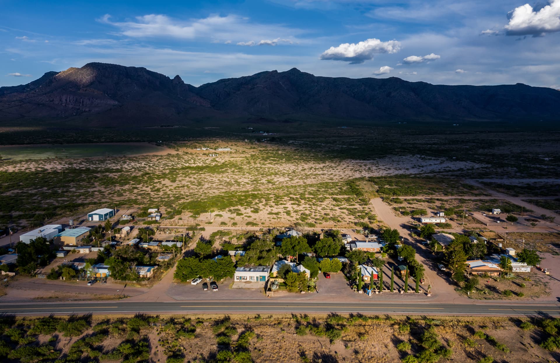
Portal gets the postcards. Rodeo is where the road goes quiet — a hundred-odd people on the New Mexico side of the line, with the Sky Islands out the window and some of the darkest skies left in the country overhead.
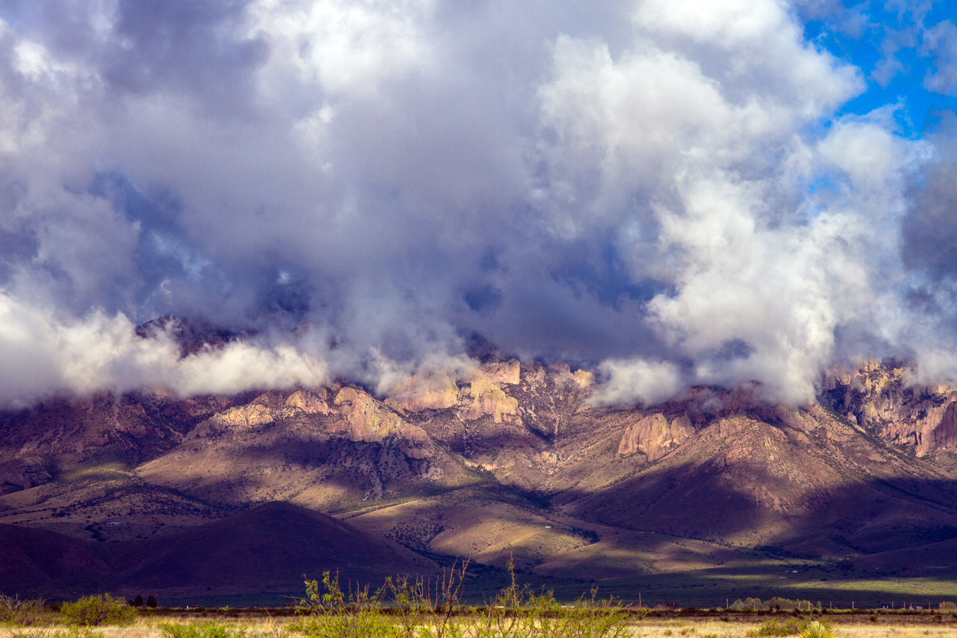
Rodeo sits in the San Simon Valley where Chihuahuan desert grassland runs up against the largest Sky Island range in the region. Climb from the valley floor to the Chiricahua crest and you pass through desert scrub, oak woodland, pine and fir in the space of an afternoon — with birds and reptiles that reach no further north than here.
Roger Tory Peterson counted Cave Creek Canyon, ten minutes west of town, among the great birding places in North America. Thirty-five kinds of rattlesnake occur in the surrounding country. Most visitors come for one and stay curious about the other.
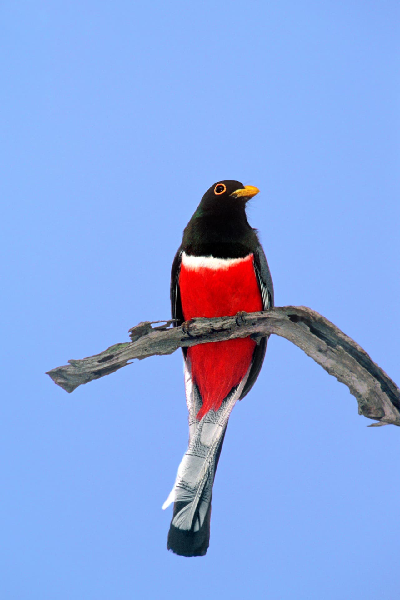
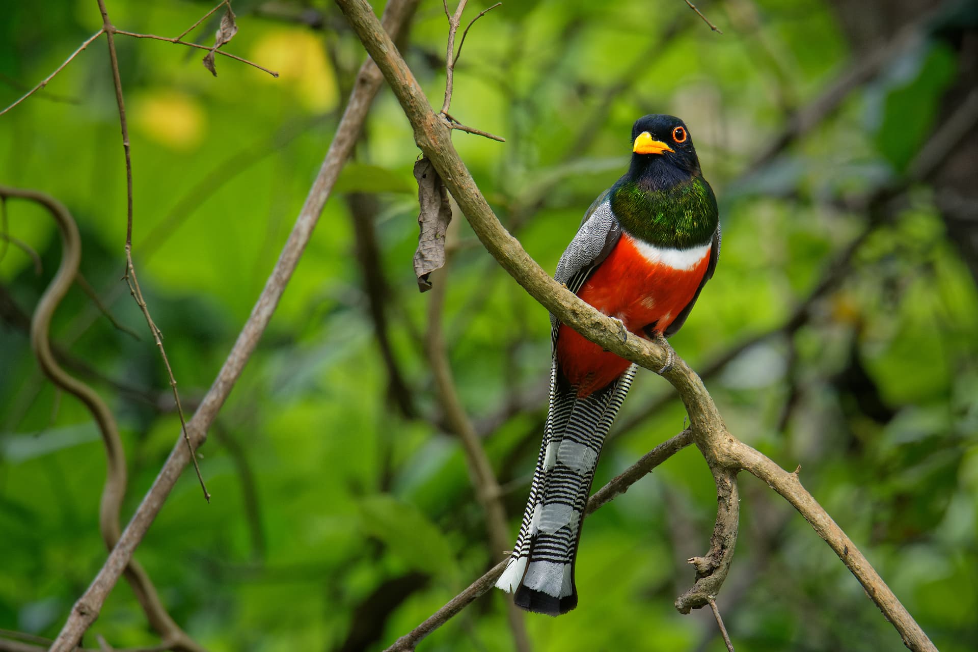
The Rodeo–Little Bird Trail hotspot alone has logged 147 species on eBird.
There are no streetlights in Rodeo and no city within a hundred miles of the horizon. Astronomers moved here on purpose: the valley sits in one of the darkest, driest, steadiest patches of sky in North America.
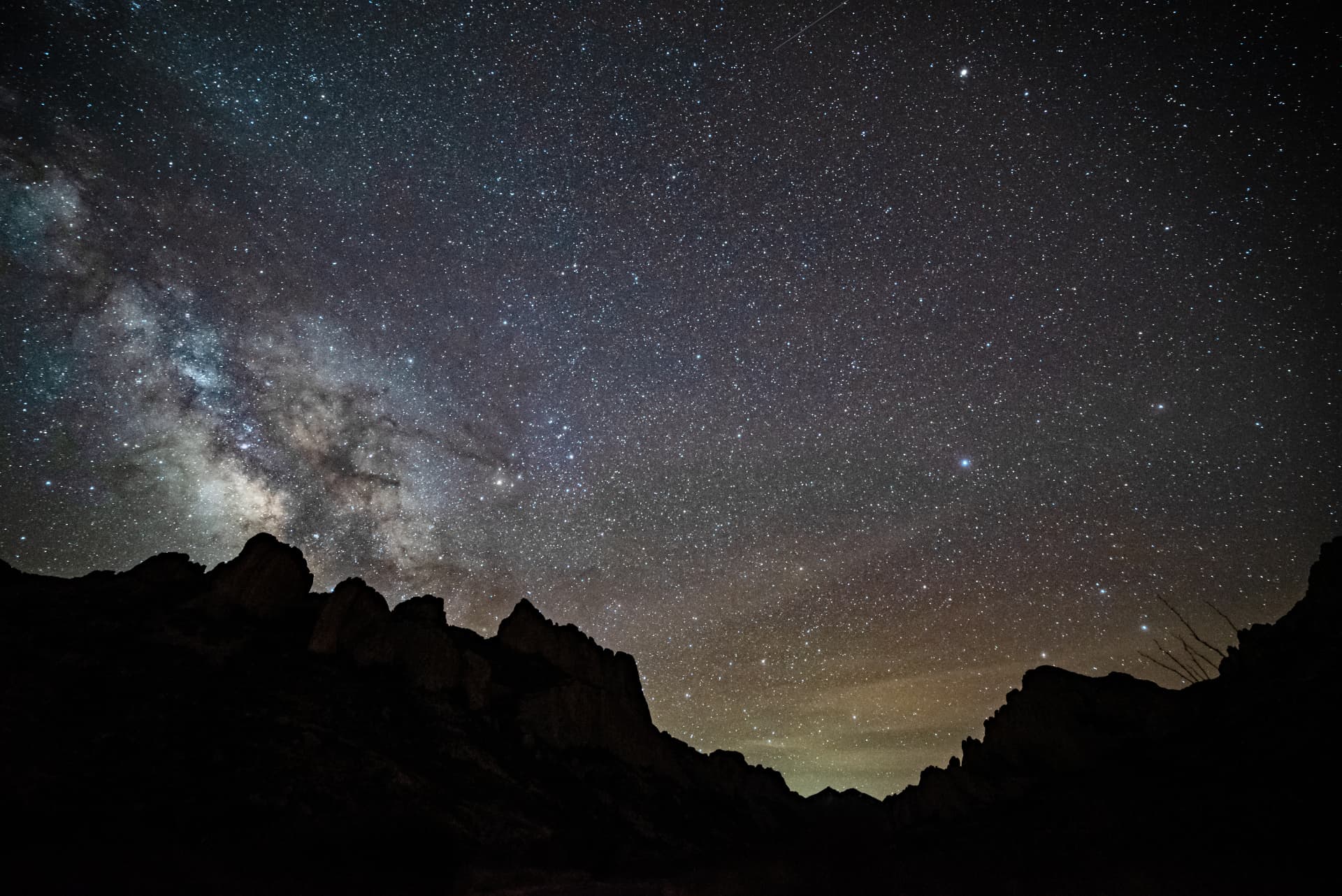
A residential community at the mouth of Cave Creek Canyon built for astronomers, with private observatories and rental homes for visiting observers.
No permit, no gate, no fee. Pull off a side road, let your eyes adapt for twenty minutes, and use a red light. The zodiacal band is visible on a good night.
New moon, October through May, when the monsoon humidity is gone. Winter nights are cold at this elevation — dress as though you were standing still for hours, because you will be.
Straight across the state line on Portal Road. Rhyolite cliffs, sycamore creek bottoms, and one of the premier birding sites in North America.
At Highway 80 and Portal Road, right in Rodeo. Live reptiles, desert garden, Apache history and a regional art gallery. Open daily 9am–5pm.
The Wonderland of Rocks and historic Faraway Ranch. Take the paved Highway 186 approach through Willcox rather than the mountain road if you're towing.
South on Highway 80 for full services, fuel, groceries and the historic Gadsden Hotel.
North on Highway 80. The usual way in and out, and the last reliable fuel stop coming from the interstate.
Mar–May
Migration peaks. Warm days, cold mornings, wind in April.
Jul–Sep
The great season. Trogons calling, hummingbirds everywhere, afternoon thunderheads.
Oct–Nov
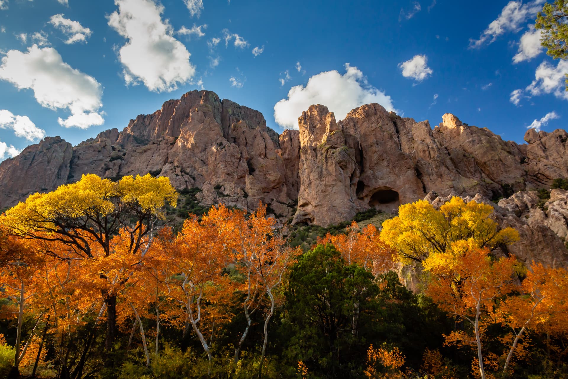
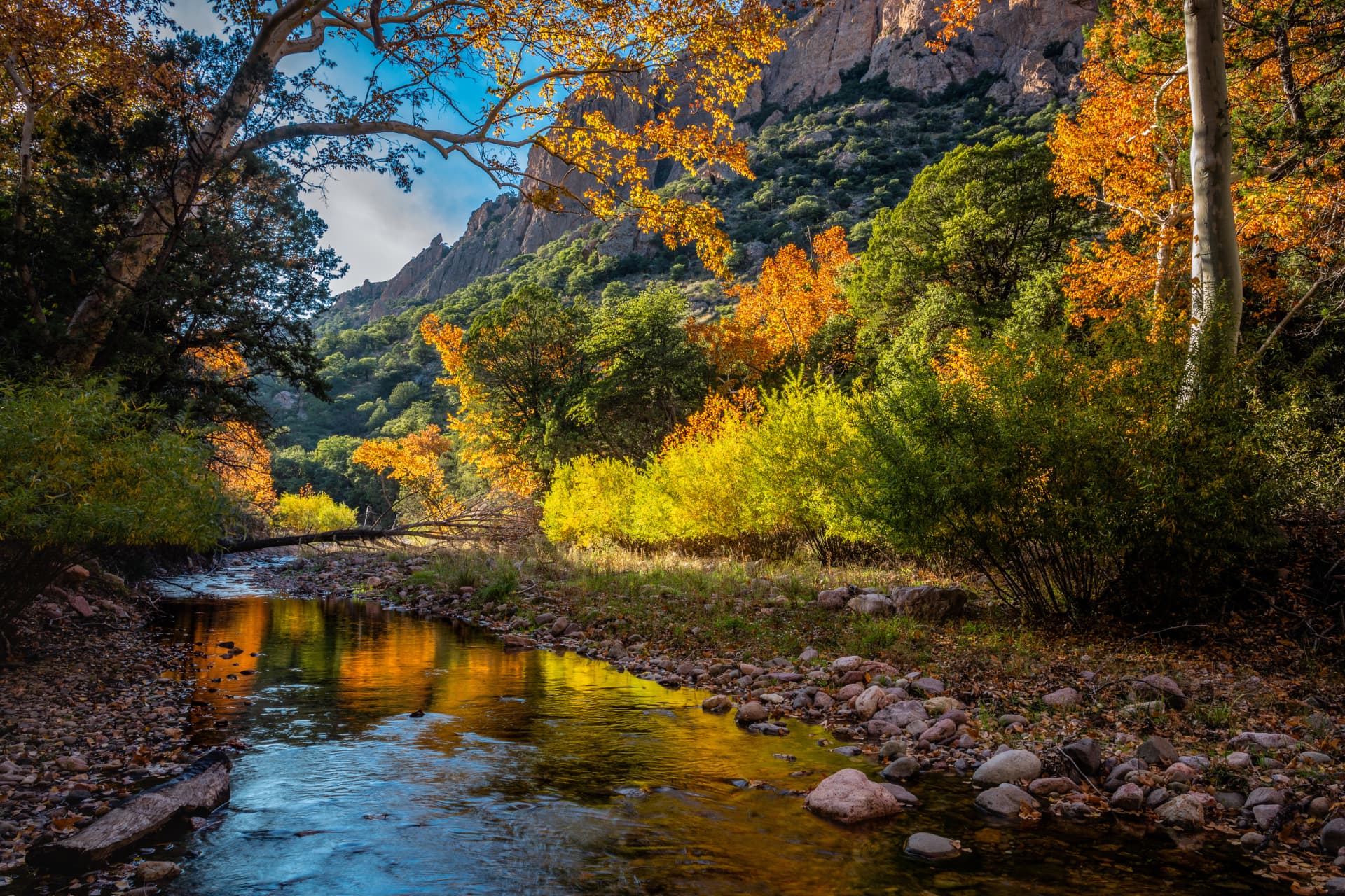
Sycamores and cottonwoods turn gold in the canyons. Clear, still air.
Dec–Feb
Quietest light of the year. Mild days, freezing nights, superb stargazing.
The town's social heart on Highway 80 — a bar and kitchen where birders, ranchers and astronomers end up at the same table. Call ahead for hours: (575) 557-2229.
Twenty-five acres of creekside cottages and apartments under the cliffs, feeders humming from dawn. A homestead since 1906 and a birding institution since the 1940s.
Serving travelers since 1934. Sixteen rooms, a café, and the last groceries before the canyon. Book before you arrive — phones often don't work once you're here.
A small community built for astronomers at the mouth of Cave Creek Canyon, with rental houses that come with roll-off observatories and no neighbors' porch lights.
Rodeo sits in the far southwest corner of New Mexico, in Hidalgo County on US Highway 80, about 4 miles east of the Arizona state line and 30 miles north of the Mexican border. Portal, Arizona is 10 minutes west; Douglas is about an hour south, Lordsburg an hour north, and Tucson roughly three hours west. ZIP code 88056, elevation 4,128 feet, Mountain Time.
Tucson International is the usual gateway, roughly two and a half to three hours west via I-10 and Highway 80; El Paso is a comparable drive east. Rodeo's airstrip (NM70) is private-use and unattended.
Services here are minimal and hours are informal. Fill the tank in Lordsburg, Willcox or Douglas before you turn off, carry water, and treat half a tank as empty once you start up the canyon roads.
Cell coverage is patchy in the valley and mostly absent in the canyons. Make lodging arrangements and download maps before you arrive — it may be a while before your phone works again, which is part of the point.
Portal Road is partly unpaved and washes can run during monsoon storms. Never drive into moving water. The mountain road over the Chiricahuas is unsuitable for large RVs and trailers.
Rodeo began in 1902 as a siding on the El Paso & Southwestern Railroad, moving Bisbee copper ore east. This was Chiricahua Apache homeland long before that; Geronimo and his band held out in these mountains until 1886.
Most land off the highway is private or ranch land. Keep gates as you found them, stay on established roads, shield your lights at night, and keep back from nesting birds.